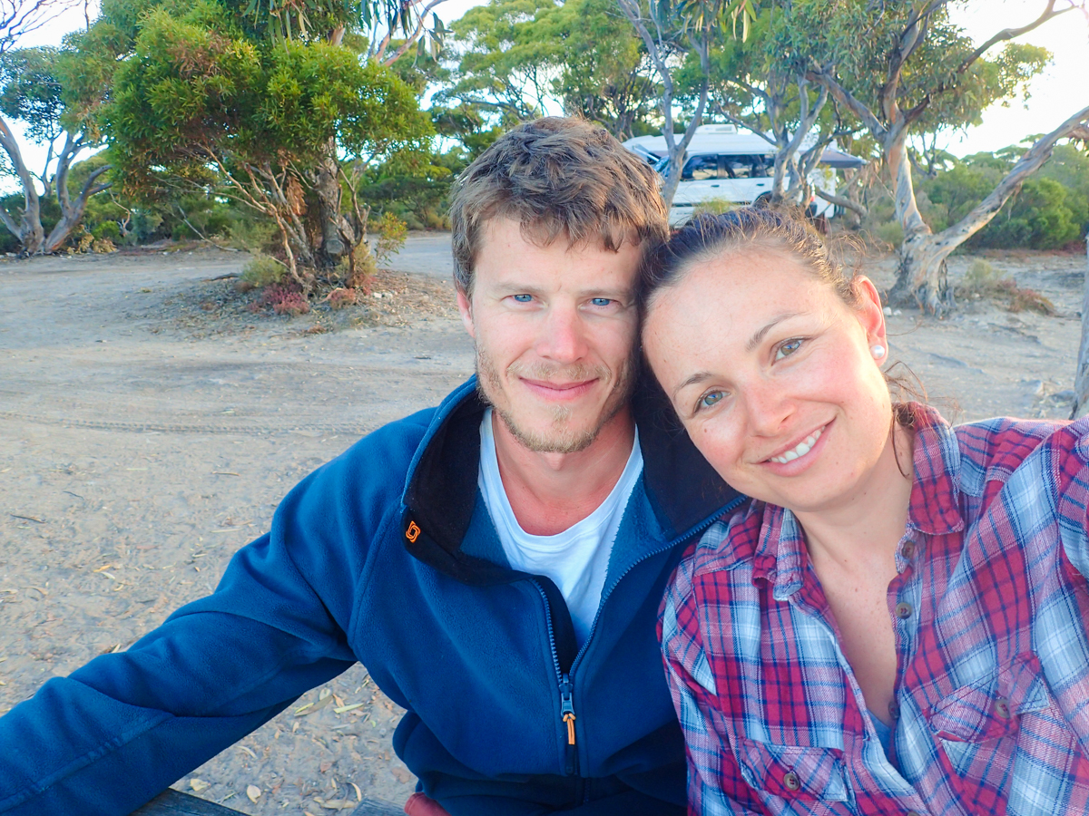
During winter, snow bunnies migrate 375km north-east of Melbourne to enjoy the white dust that has fallen over the popular Falls Creek resort. But the winter destination also offers its charm during the less prevalent warmer, summer months.
Snow season ends late in October and by then the village resembles a ghost town; the wall-to-wall skiers and snowboarders have melted away with the snow. Now’s the perfect time to hitch up the caravan and visit picturesque Falls Creek.
1. HISTORY OF FALLS CREEK
Before it was officially named Falls Creek in 1938, the area was originally opened up as part of the Kiewa Hydroelectric Scheme and was known as Horseshoe Creek by local graziers — due to the boggy country that often pulled shoes off the horses. It was not until the late 1940s that the first ski lodge was built. Along with nearby Mount Hotham, Falls Creek is one of Victoria’s premier snowfields with 15 ski lifts and several thousand beds.
2. GETTING THERE
Falls Creek can be reached from Omeo in the east and Albury-Wodonga in the north, but most Melburnians take the Hume Highway to Wangaratta and travel via Bright and Mount Beauty. From Wangaratta, this drive passes through the beautiful Ovens Valley, which includes attractions such as bushwalking, sightseeing, photography, camping and numerous first class wineries.

For the 4WDers, the township of Bright is a kick-off spot for trips into the Buckland and Wonnangatta valleys. The impressive Mount Buffalo, which overlooks the Ovens Valley, is a delightful sightseeing location and a great spot to take the kids for a bit of snow play.
In autumn, the valley is awash with colour from deciduous trees preparing for the approaching winter — orchards of walnuts and chestnuts paint the valley with a range of colours, from deep ochre red to brilliant yellow.
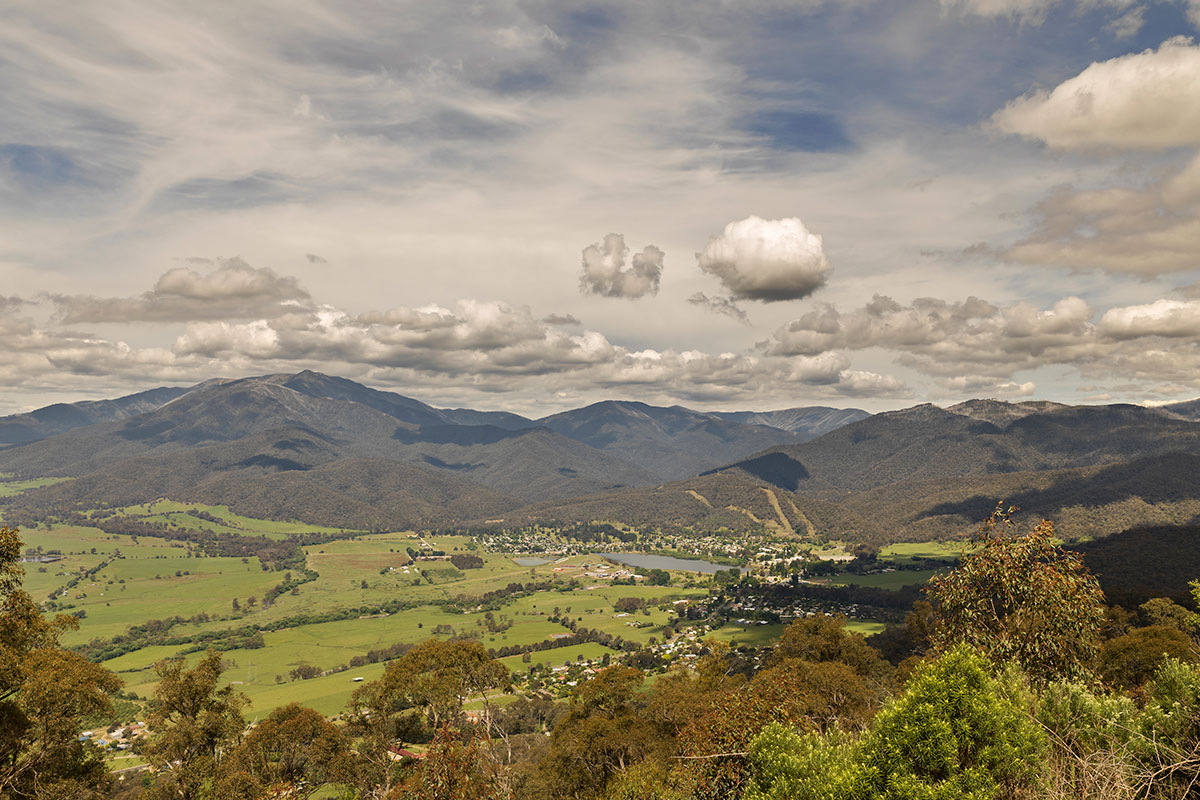
From Bright, the road to Mount Beauty is sealed, but it’s steep and winding as it climbs towards Tawonga Gap where the lookout has impressive views over the township of Mount Beauty on the Kiewa River. From Tawonga Gap, it’s a tortuous descent to the river valley before a further 35km winding climb to Falls Creek. Be warned, these roads are a magnet for pedalled and motorised two-wheelers, so take it easy and be prepared to share the road.
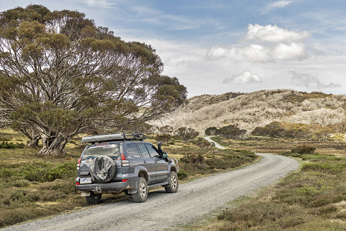
3. 4WD ONLY: THE HUTS OF THE HIGH PLAINS

There are more than 60 mountain huts (or remnants of huts) in the Alpine National Park. Many of these are found near Falls Creek and are remotely located in difficult terrain, so access can be challenging. However, a few huts are in reach for those prepared to undertake moderately difficult walks. Not many of these huts have survived in their original form due to the rigours of weather and bushfires, but they still provide a glimpse into what living conditions must have been like for the mountain cattlemen that worked up in this country in the 1800s.
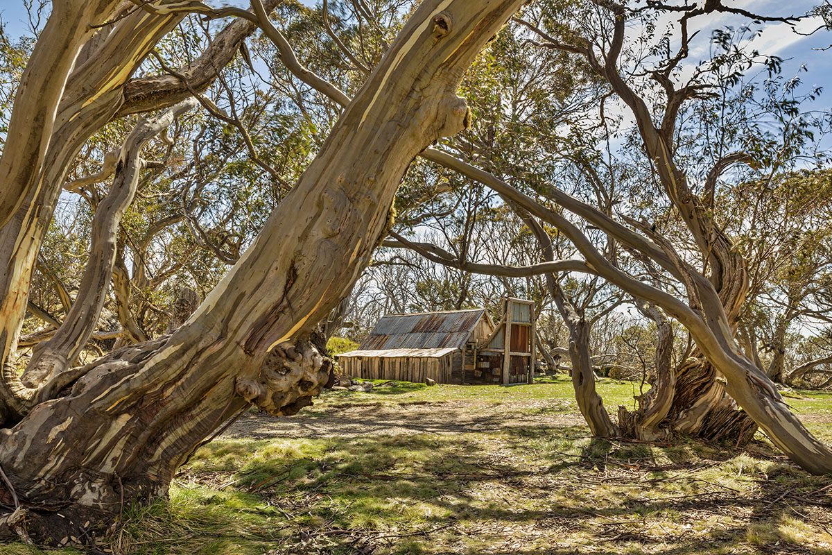
Six huts that can be easily reached from Falls Creek are: Wallace’s Hut, Bogong Rover Chalet, Cope Hut, Faithful’s Hut, McNamara’s Hut and Pretty Valley Hut (the latter is also known as Horseman’s Hut). The first three are on the easy six-kilometre Wallace Heritage Trail Walk, which starts 12km east of Falls Creek on the Bogong High Plains Road and returns onto the same road a couple of kilometres further on. Wallace’s Hut dates back to 1889, making it the oldest cattleman’s hut in the Alpine National Park.
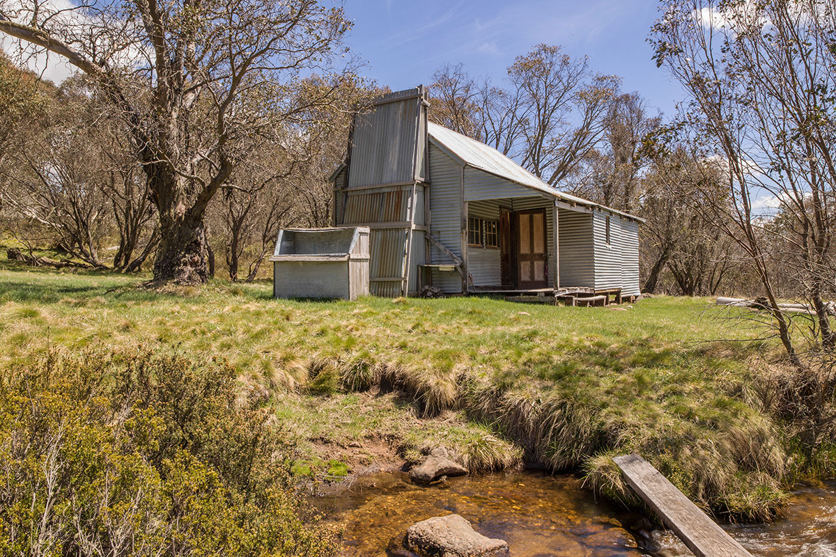
East of Falls Creek, on the road towards Omeo, are two bush campsites – Langford West and Raspberry Hill. Both are pleasant, grassy areas with fireplaces and toilets surrounded by snow gums. Travelling east from Raspberry Hill you’ll find the turnoff to Faithful’s Hut. The access track can have a couple of shallow bog holes at times and is suitable to off-road caravans fitted with quality suspension systems like the AL-KO Enduro Outback. About 50m off the main road is a delightful campsite with toilet facilities and fireplaces set in a grassed area beneath large gum trees. This is perhaps the pick of potential campsites in the area as it’s less used — access is partially hidden on a bend and the site is not shown on some maps. A gated track off the campsite runs 750m down into the valley where Faithful’s Hut sits on the banks of an idyllic mountain stream. The return walk is relatively strenuous as it’s consistently uphill and quite steep in parts.
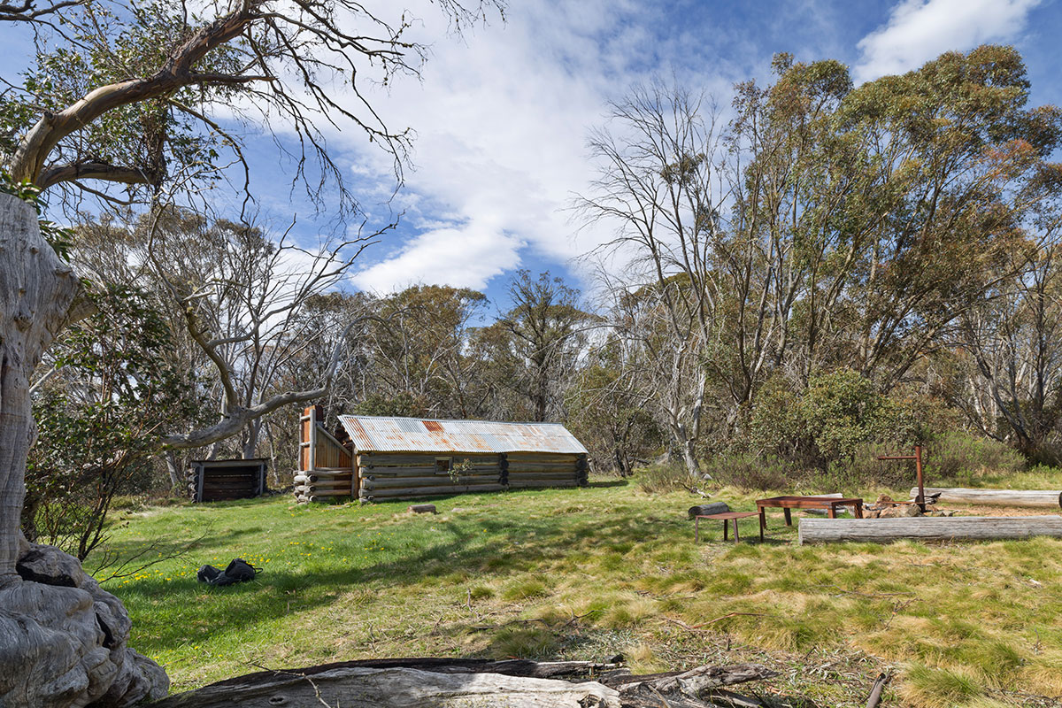
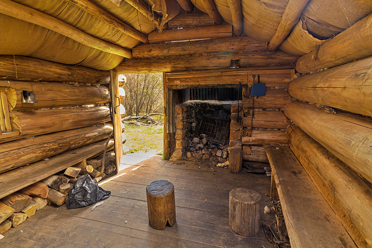
Two kilometres further east, along the main road, is the turn-off to McNamara’s Hut. This easy track is very narrow in places and, with some ruts and potholes, it’s only suited to a high-clearance 4WD. The track stops at a small car park with a 500m walking track to the hut. The hut was built in the 1940s by the McNamara family who had an association with cattle grazing in the area since the 1850s. Eventually abandoned, it fell into disrepair until the 1970s when it was resurrected by volunteers. It was used and maintained for another 30 years by a group of people from the Mittagundi Outdoor Education Centre. Destroyed by a bushfire in 2003, the hut was rebuilt to its present form in 2004 by volunteers who used close to 40 tonnes of logs.
4. MOUNT MCKAY
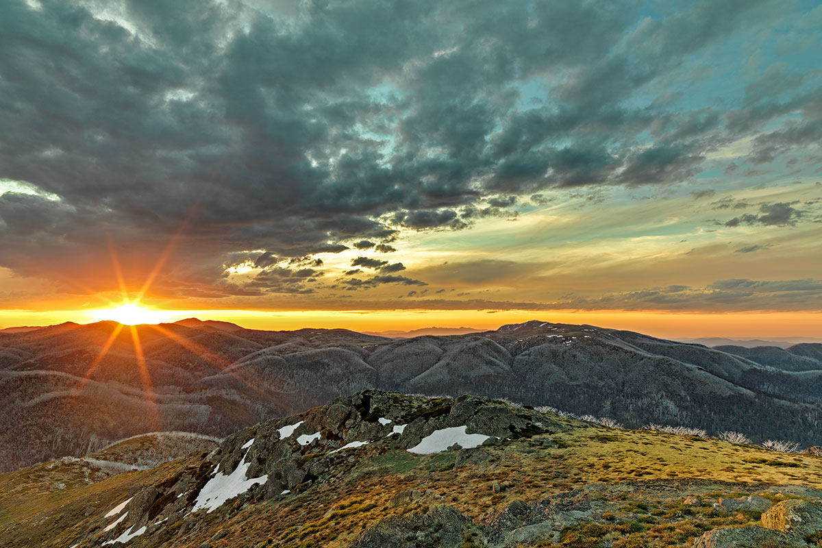
Mount McKay stands 1849m tall and is a 15-minute drive out of Falls Creek — just off the gravel road to Pretty Valley. You can drive to the top, but stopping at the car park a few metres below the communication tower is a better idea — once you’re at the top there’s not enough room to turn around. Mount McKay has 360-degree views and, on the right day, with a glass of champagne and a camera, it’s a great place to watch the sun setting over Razorback Range to the west. Mount McKay supposedly claims the title of being the highest point with road access in Victoria. Mount Hotham is 12m higher, but the road isn’t open to the public.
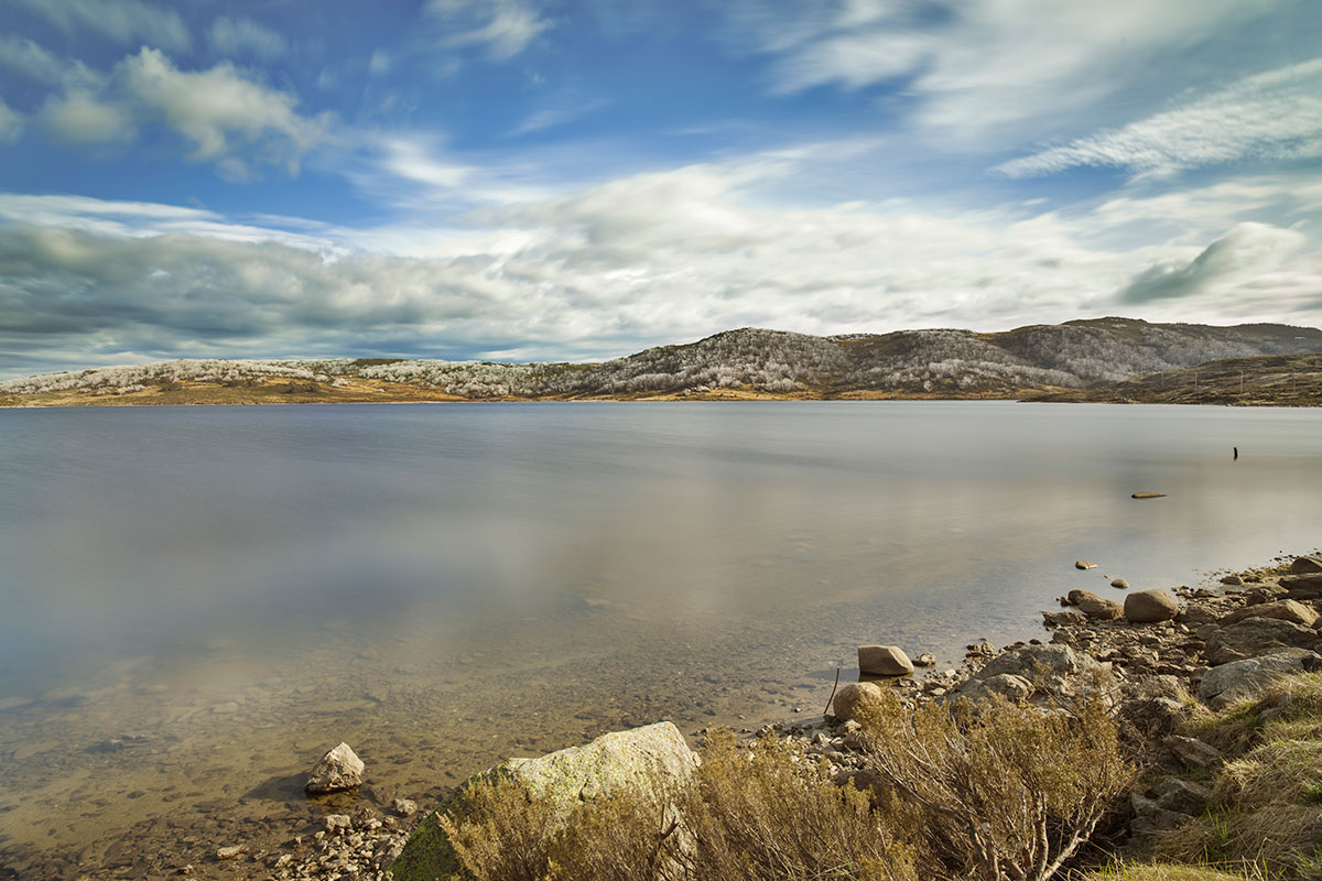
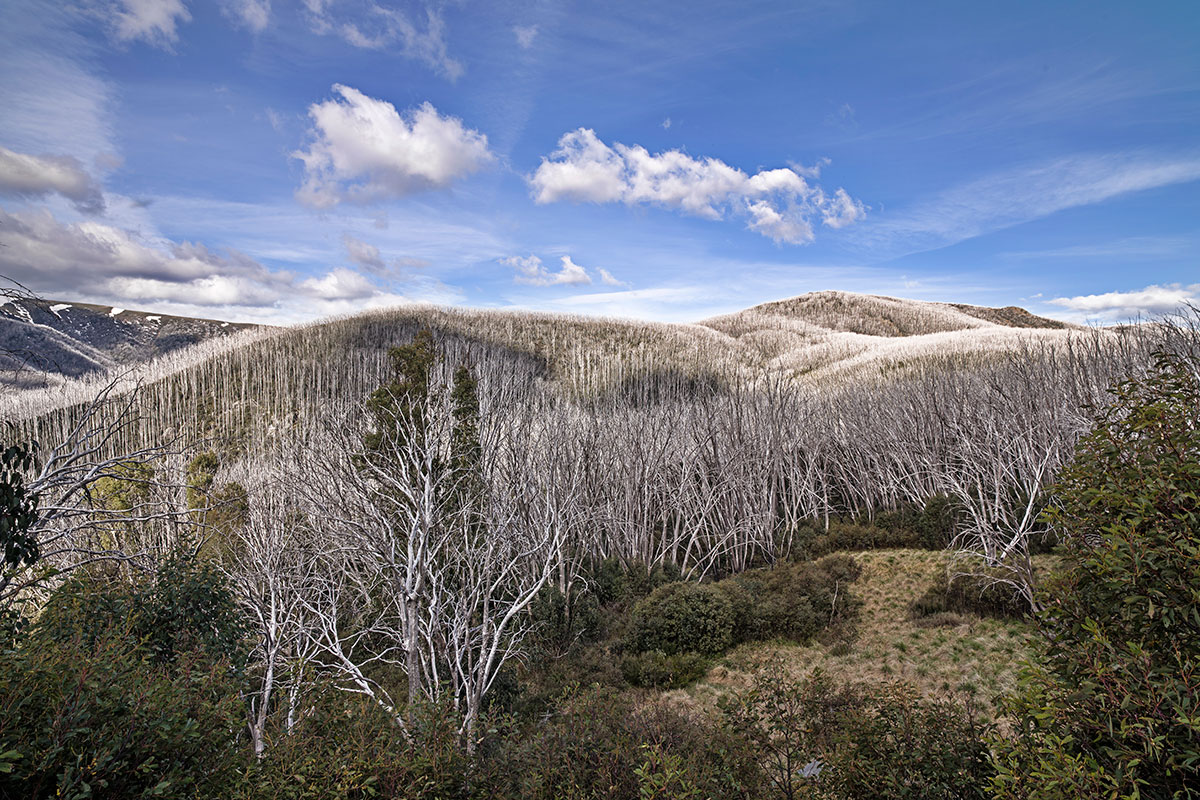
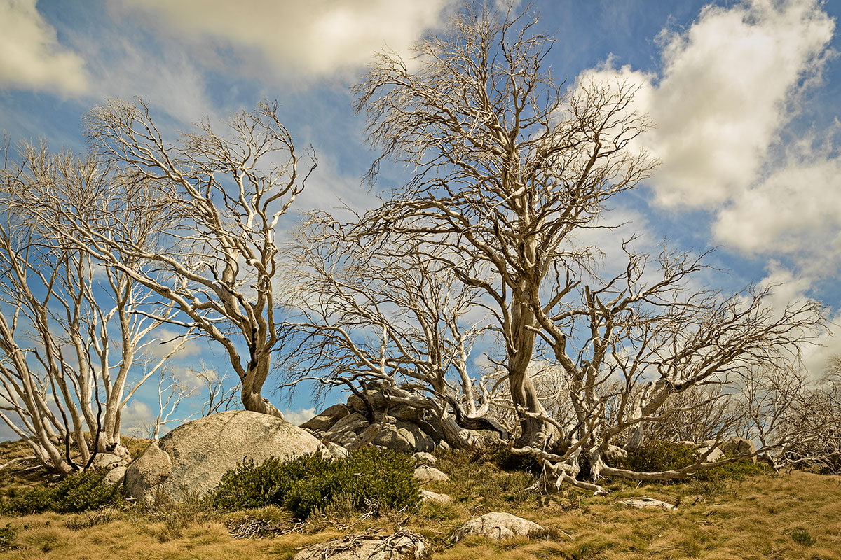
From Mount McKay, the road passes Pretty Valley Hut. Built in 1984, this small hut is a reconstruction of the original 1930s hut erected on the site. The road ends at Pretty Valley Pondage. Interestingly, the 2003 fires removed almost every trace of the tough woody undergrowth here; however, low granite boulders took the heat out of the fire and stopped the adjoining branches from burning. Those branches still cling to the rocks.
If you’re heading down the mountain towards Mount Beauty, make sure to stop off at the car park near the bridge that crosses the Kiewa River, near Bogong Village. From here, there’s an easy two-kilometre return walk to Fainter Falls.
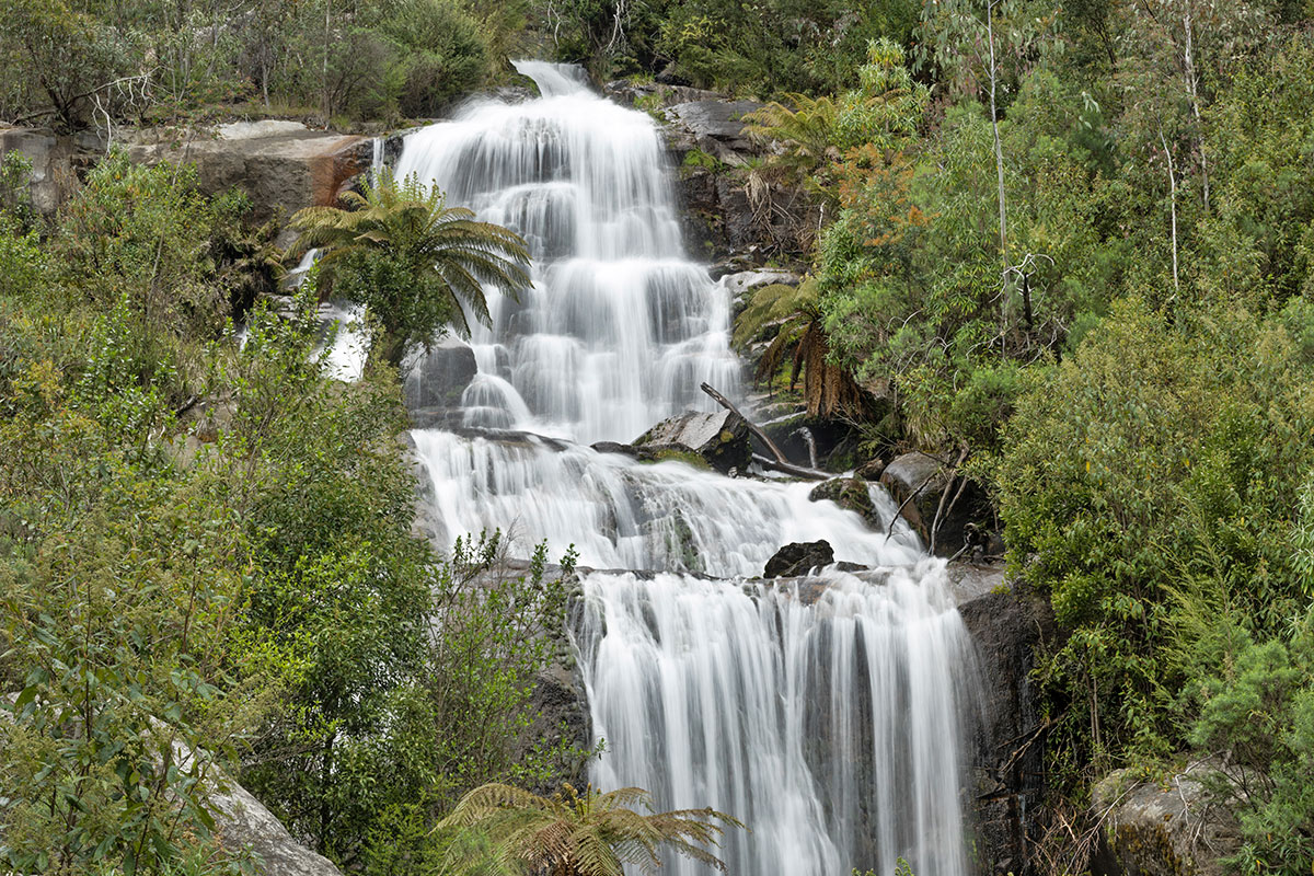
The walk curves along a well-made track with viewing platforms, making it an excursion for the entire family. The falls are at their most spectacular after a rainfall, or in the wetter months.
Only three hours from Melbourne, Falls Creek is a great option for a weekend away. Whether you want to buckle up the walking boots or just spend a relaxing weekend amongst spectacular scenery, Falls Creek has something for everybody.